
Outdoors
Hiking in Serbia
Marked trails from the forests above Belgrade to the high ridges on the Bulgarian border, with maps, elevation and free GPX downloads.
Serbia has hundreds of marked hiking trails and very few English guides to them. Start with these 8 routes, one for every kind of day: a morning walk from Belgrade, a viewpoint above the Drina or the Danube, or a full day on Rtanj. Each one has a map, an elevation chart, a GPX file for your phone or watch, and honest notes on water and how to get there.
Choose your hike
Filter by how hard a day you want.
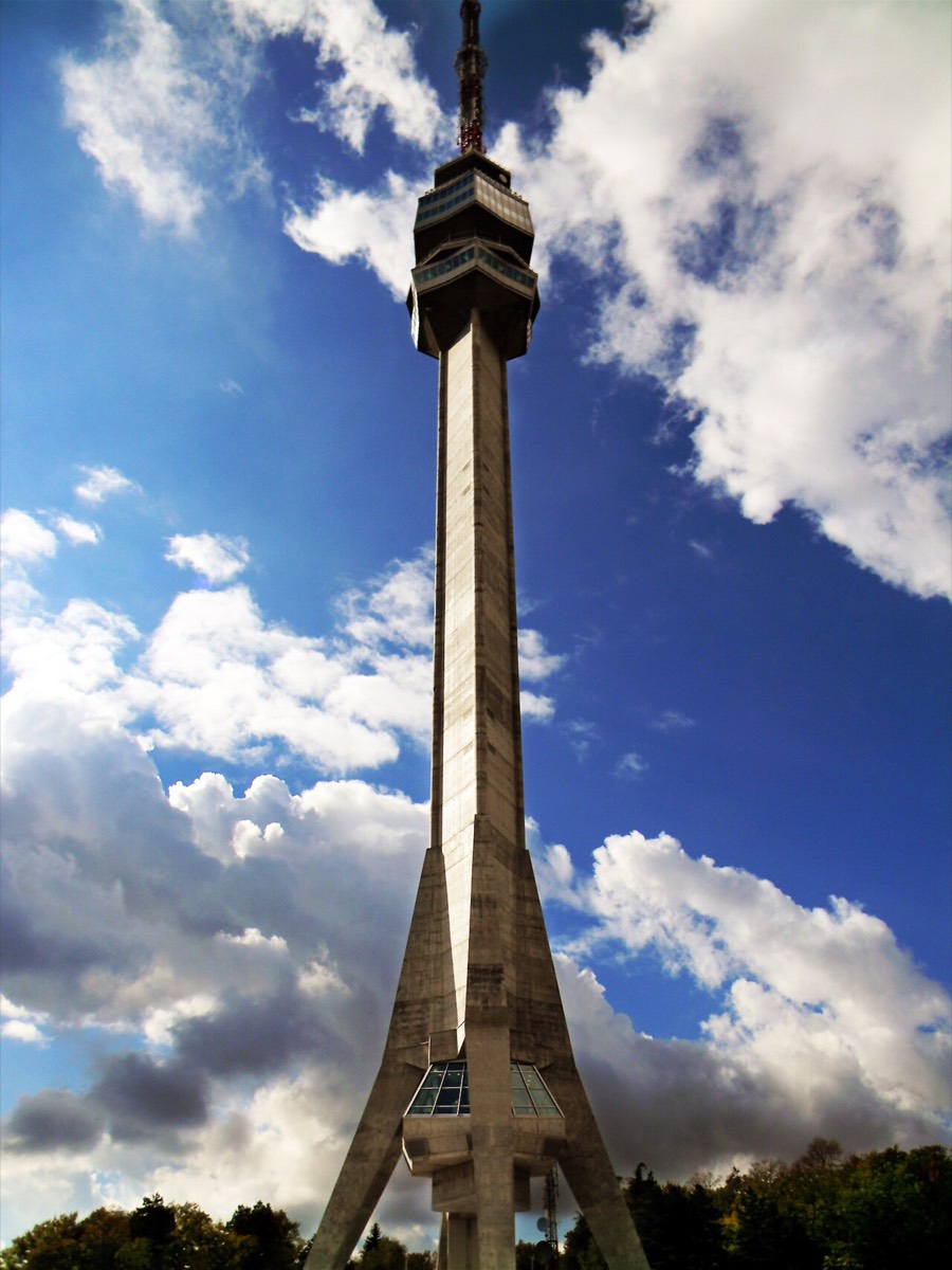 Easy
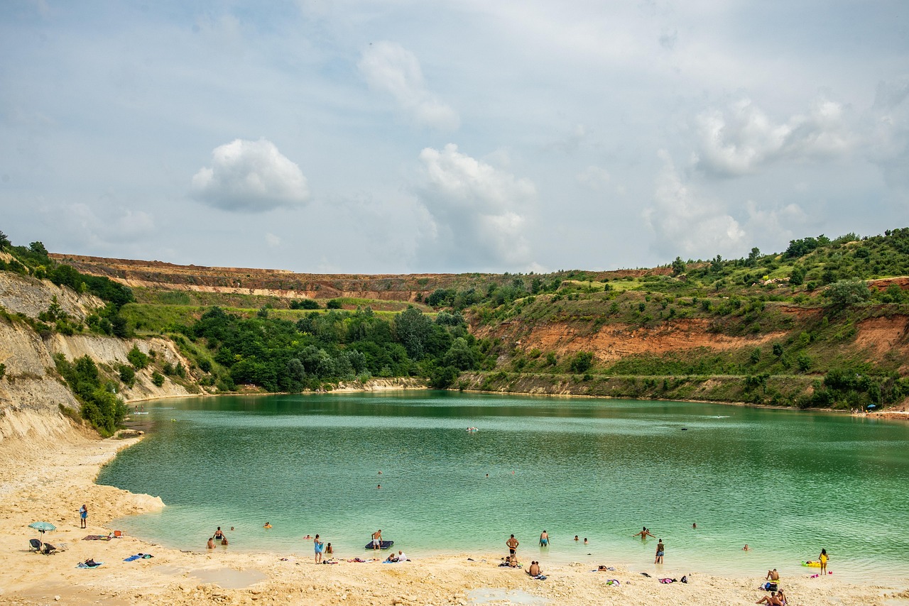 Moderate
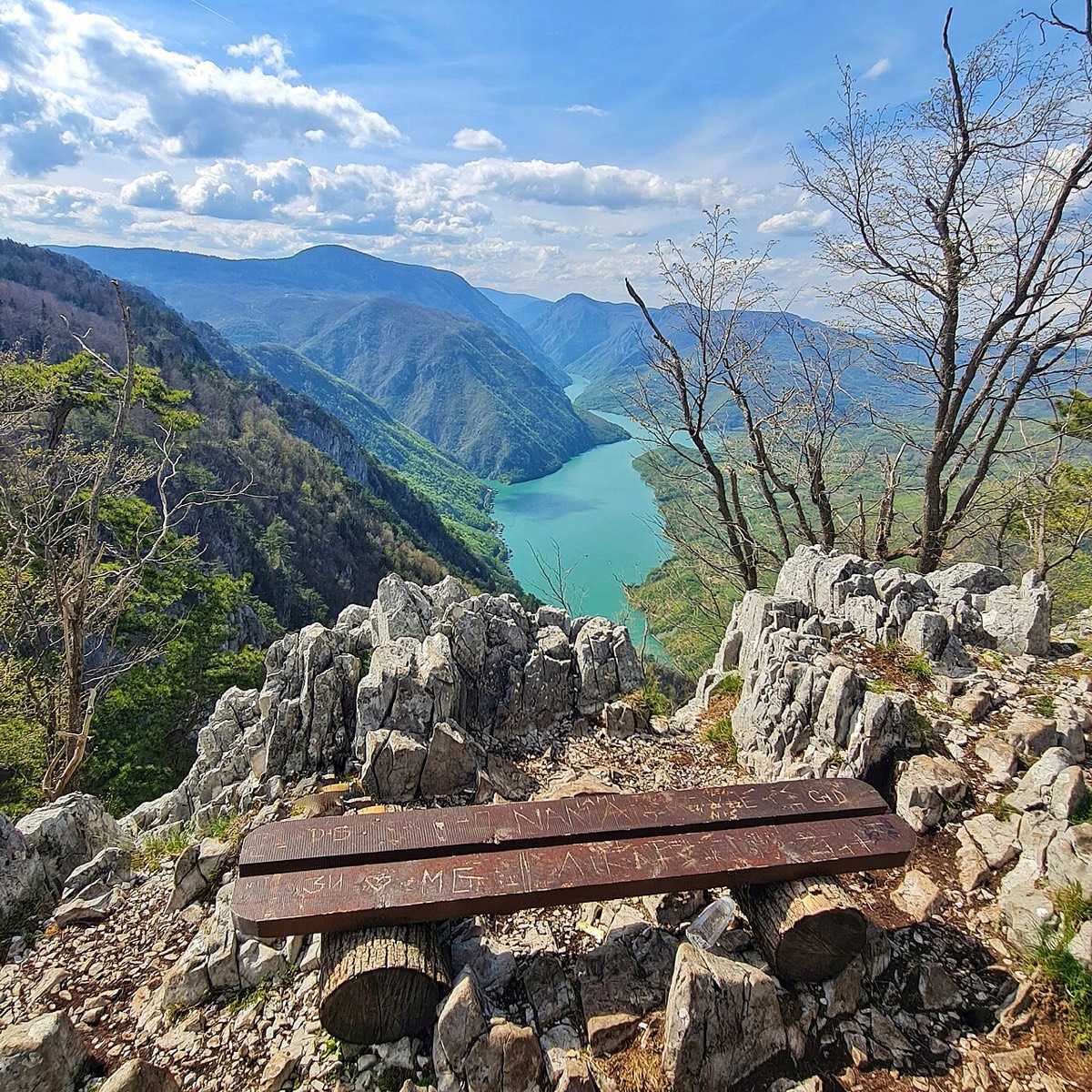 Easy
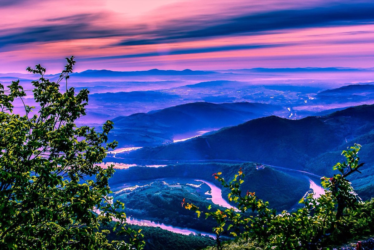 Easy
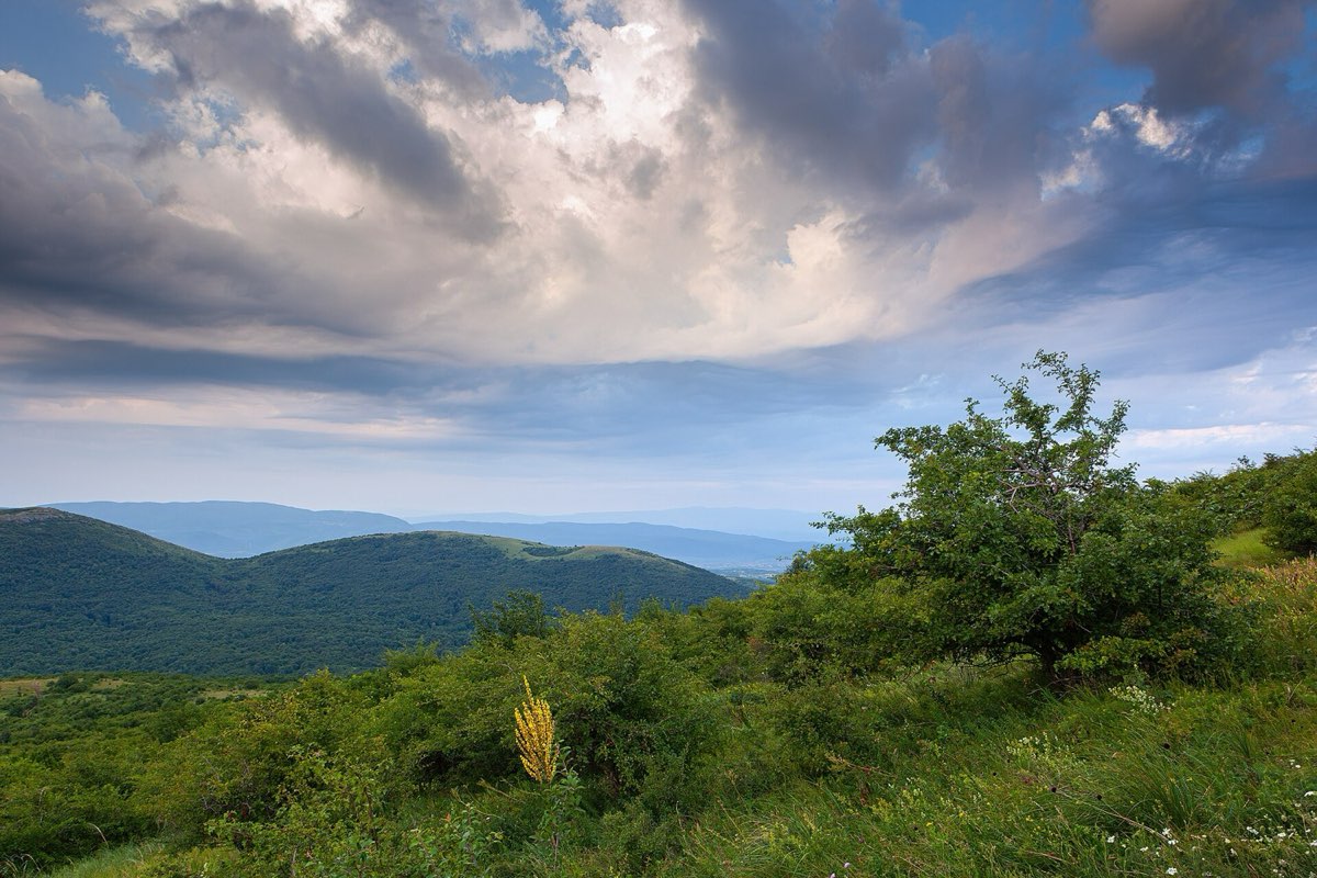 Demanding
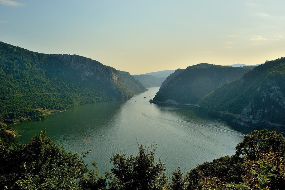 Moderate
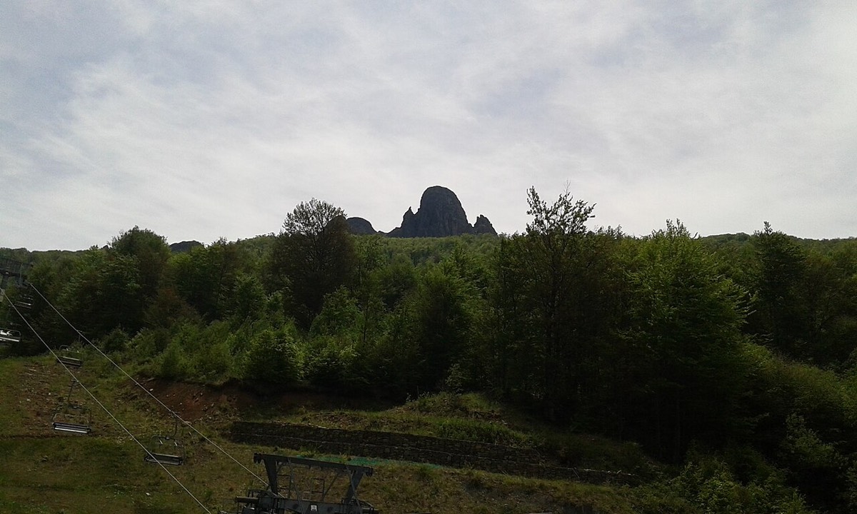 Moderate
 Demanding
All routes on the map
Tap a name to open the route.
The map loads from OpenTopoMap, which receives your IP address. Nothing loads until you click.
How to use the GPX files
- Open a route and tap Download GPX.
- Import the file into your hiking app or GPS watch. Most apps have an import option in their routes menu.
- Save the route and the map for offline use before you leave, because signal is patchy in the mountains.
Mountain safety basics
- Tell someone where you are going and when you expect to be back.
- Carry more water than you think you need. Many routes have none.
- Start early in summer, and turn back if the weather closes in.
- Bears live on Tara and venomous snakes on Rtanj. Give wildlife space and watch your step.
- For any emergency, call 112.
Where our routes come from
The route lines come from OpenStreetMap, a free map built by volunteers. Times, grades and waymark details come from the Hiking Federation of Serbia, local clubs and national parks wherever they publish them, and each route lists its sources. We have not walked every route yet, and each page says so. Trails and marks change, so you walk at your own risk and should confirm conditions locally.
Get the free Serbia cheat sheet
Prices, apps, transport and scams to avoid, on one printable page.


