
Eastern Serbia
Rtanj: Mirovo to Šiljak Peak and Rtanj Village
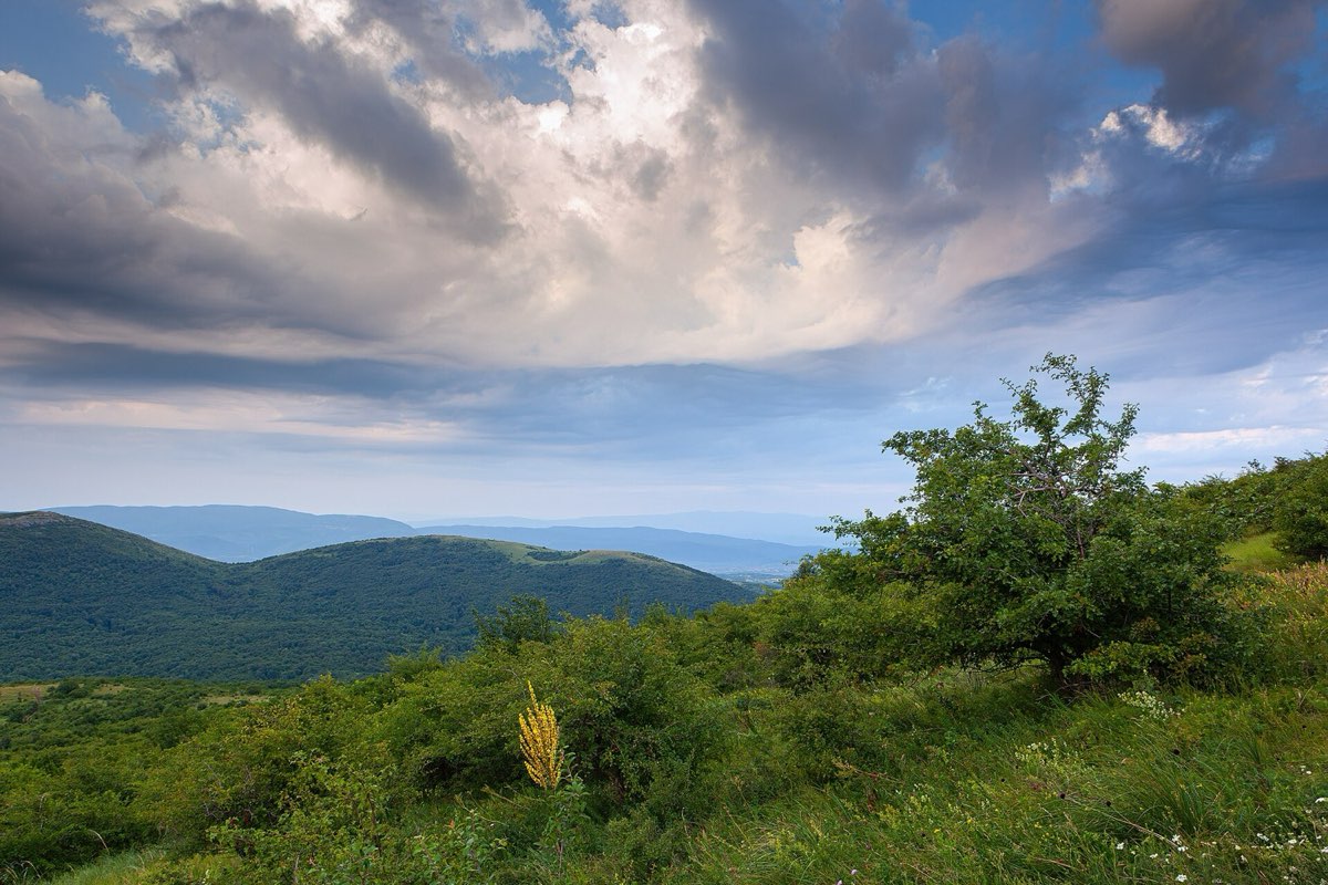
Serbia’s pyramid-shaped mountain: a long, demanding crossing over the Šiljak summit.
Quick answer
A full-day crossing of Rtanj: 13.7 km and 1,207 m of climbing from the Mirovo quarry over Šiljak peak to Rtanj village. Allow seven hours and arrange transport at the other end. For a shorter day, climb from the village and return the same way.
Route map
The map loads from OpenTopoMap, which receives your IP address. Nothing loads until you click.
Download GPXWorks with most hiking apps and GPS watches.
Elevation
Quick facts
- Type
- One way
- Start
- Opposite the main car park of the Unimer quarry, Mirovo (363 m)
- Highest point
- about 1,565 m
- Grade from
- Hiking Federation of Serbia
- Water
- 2 drinking water springs on the route; still carry at least 1 litre
- Waymarks
- Red and white waymarks in both directions, last repainted in 2018
- Best season
- May to October; leave early in summer. Winter is for experienced hikers only
- Walked by our team
- Not yet. This guide uses published route data
- Data checked
- 1 Nov 2026, online
The route
- Start on a cart track, which soon becomes a forest path. The first viewpoint comes at 3.4 km (750 m).
- Climb the ridge for 700 m, then re-enter the forest. The second viewpoint is at 5 km (1,132 m).
- Reach the saddle at 6.4 km (1,363 m), then follow the ridge to Šiljak.
- Descend the south side on switchbacks to the Baba pass (984 m), then through forest to Rtanj village (599 m).
Getting to the start
Rtanj is about 210 km from Belgrade, roughly 2.5 hours by car, mostly on the E75. Because the route starts and ends in different places, you need two cars or a pre-booked taxi. Rtanj village has no shops or restaurants, so bring everything with you.
Before you go
- The federation asks for caution on this route.
- The rocky sections get slippery and muddy after rain, and the top is colder and windier than the valley.
- Venomous snakes live here, so wear sturdy boots and watch where you step.
- The small chapel on the summit is in ruins.
Read our mountain safety basics too. For any emergency in Serbia, call 112.
Where to stay
Boljevac has more options than Rtanj village. Book ahead for weekends.
See hotelsFrequently asked questions
Is there a shorter way up?
Yes. Many hikers start from Rtanj village on the south side and return the same way. Explore Serbia gives about 15 km and 1,000 m of climbing.
How high is Rtanj?
Šiljak is usually given as 1,565 m. The federation sheet says 1,570 m.
Sources
- Hiking Federation of Serbia: Rtanj
- Explore Serbia: Ascent to Rtanj
- Route line: © OpenStreetMap contributors (ODbL)
- Elevation chart: NASA SRTM data, via OpenTopoData
Checked 1 Nov 2026. Trails, marks and access change, and you walk at your own risk. Confirm conditions locally before you set out.
More hikes in Serbia
All hikes → Moderate
 Moderate
 Demanding


