
Near Belgrade
Avala Loop from Pinosava
The easiest way to swap Belgrade traffic for forest: a marked loop with drinking water on the way.
Quick answer
A well-kept 9 km loop through the forest on the lower slopes of Avala, starting at a bus station on the edge of Belgrade. Allow just under four hours. It does not go up to Avala Tower, so add that separately if you want the view.
Route map
The map loads from OpenTopoMap, which receives your IP address. Nothing loads until you click.
Download GPXWorks with most hiking apps and GPS watches.
Elevation
Quick facts
- Type
- Loop
- Start
- Avala bus station, Pinosava (265 m)
- Highest point
- about 406 m
- Grade from
- Hiking Federation of Serbia
- Water
- 3 drinking fountains on the route
- Waymarks
- Red and white waymarks, rated excellently kept by the federation
- Best season
- All year; paths can be muddy after rain
- Walked by our team
- Not yet. This guide uses published route data
- Data checked
- 1 Nov 2026, online
The route
- Start and finish at the Avala bus station in Pinosava.
- Pass the Sakinac fountain and the monuments to Vasa Čarapić, a hero of the First Serbian Uprising.
- Walk by the Čarapićev Brest mountain hut, a useful place to stop.
Getting to the start
The start is on the southern edge of Belgrade. The sources we checked disagree on which city bus to take, so confirm the current line on Belgrade’s public transport site before you leave. A taxi or car is the simple option. See also our Belgrade guide.
Before you go
- There are two huts close to the route: Čarapićev Brest and the Avala mountain house.
- Hotel Avala, below the summit, is off the route.
- This is a good first hike if you are in Belgrade for EXPO 2027 and have a free morning.
Read our mountain safety basics too. For any emergency in Serbia, call 112.
Where to stay
Stay in Belgrade and reach the start in under an hour.
See hotelsFrequently asked questions
Does this route go to Avala Tower?
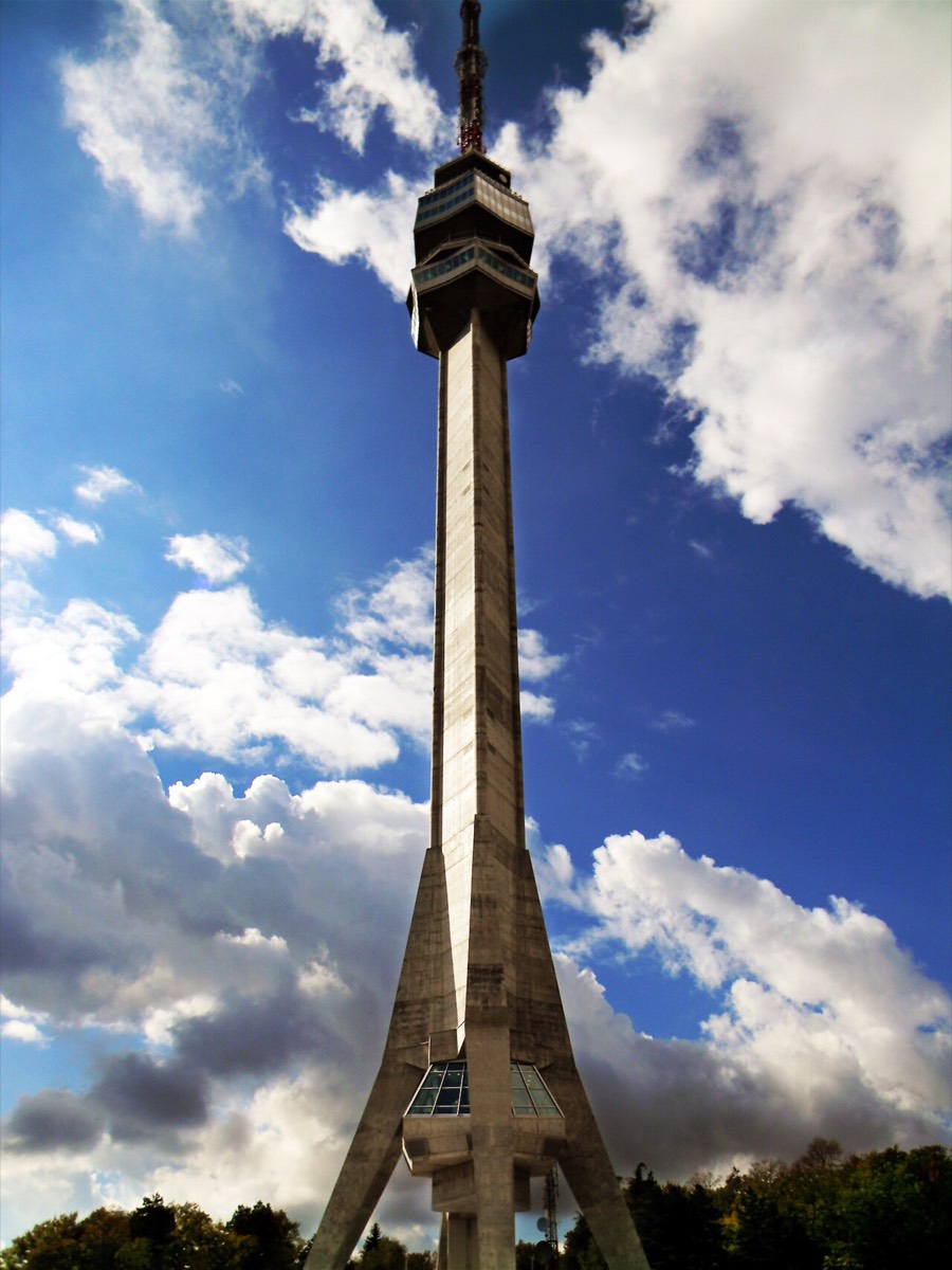
No. The route stays on the lower slopes, at about 406 m at its highest. The tower stands on the summit, so plan a separate walk or a taxi.
Is it suitable for beginners?
Yes. The federation grades it easy. There are still 582 m of small climbs over the whole loop, so wear proper shoes.
Sources
- Hiking Federation of Serbia: Avala, trail 1
- Route line: © OpenStreetMap contributors (ODbL)
- Elevation chart: NASA SRTM data, via OpenTopoData
Checked 1 Nov 2026. Trails, marks and access change, and you walk at your own risk. Confirm conditions locally before you set out.
More hikes in Serbia
All hikes → Moderate
 Easy
 Easy


