
Ovčar-Kablar Gorge
Ovčar Banja to Kablar Summit
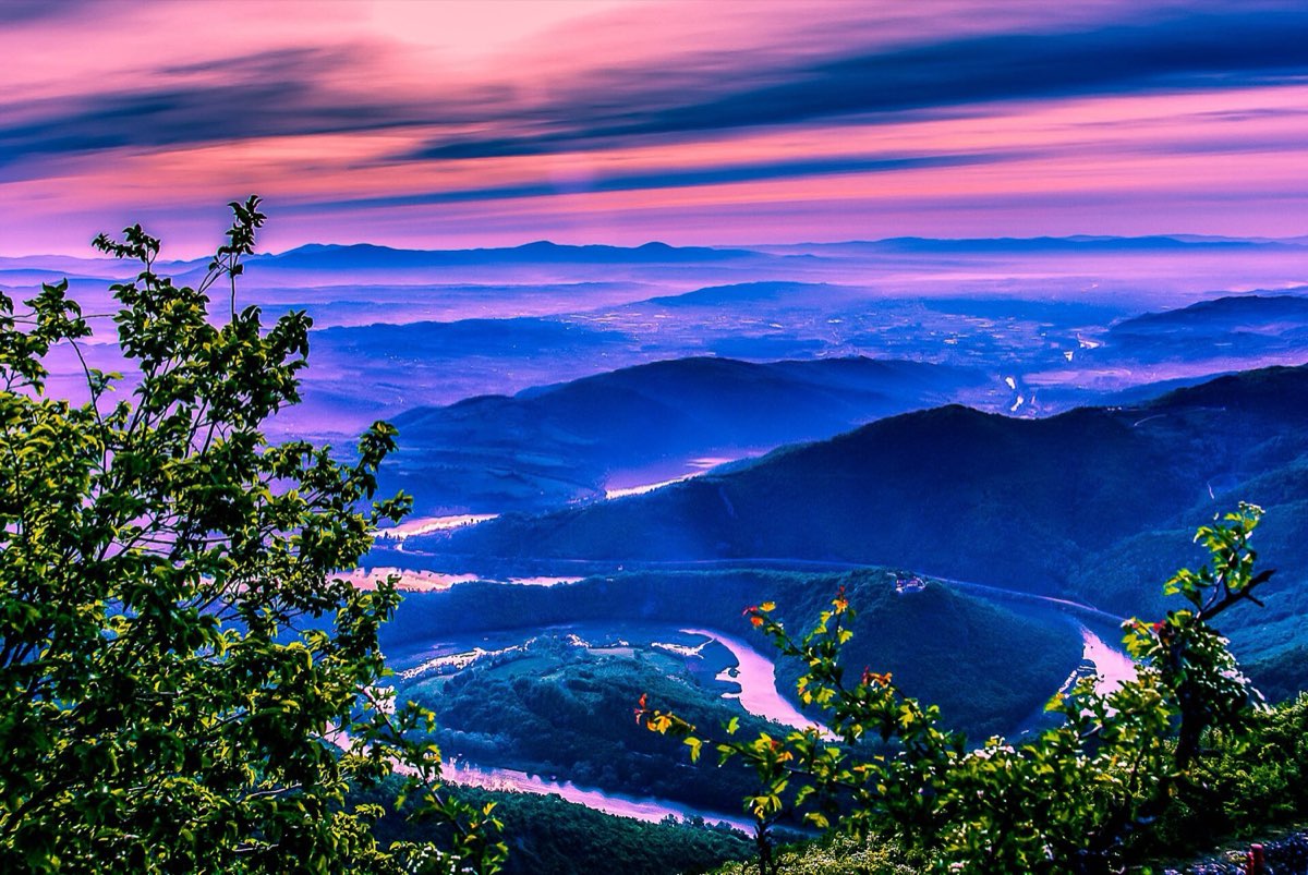
One steady climb from a small spa town to a summit above the meanders of the West Morava.
Quick answer
A 6.4 km climb from the centre of Ovčar Banja (278 m) to the top of Kablar (885 m), in about two and a half hours. It is graded easy, but it is all uphill and has no water. Come back the same way for about 13 km in total.
Route map
The map loads from OpenTopoMap, which receives your IP address. Nothing loads until you click.
Download GPXWorks with most hiking apps and GPS watches.
Elevation
Quick facts
- Type
- One way
- Start
- Centre of Ovčar Banja (278 m)
- Highest point
- 885 m
- Grade from
- Hiking Federation of Serbia
- Water
- None on the route; carry at least 1.5 litres
- Waymarks
- Red and white waymarks, last repainted in 2019
- Best season
- Spring to autumn; summer heat is best avoided at midday
- Walked by our team
- Not yet. This guide uses published route data
- Data checked
- 1 Nov 2026, online
The route
- Walk from the centre of Ovčar Banja on the paved road towards Nikolje Monastery and the Kablar hut.
- From the hut, enter the forest and climb to the houses of the hamlet of Čvrkići, between meadows and fields.
- Past the Čvrkić farm stay, return to the forest for the final climb to the summit.
Getting to the start
Ovčar Banja is in the gorge near Čačak. A car is the simple option, and the town has parking near the start.
Before you go
- Nikolje Monastery is right by the route and worth a short stop.
- Sources give the summit as 885 m or 889 m. We use the federation’s figure.
- The federation sheet recommends the map “Planinarske staze Ovčara i Kablara” at 1:20,000.
Read our mountain safety basics too. For any emergency in Serbia, call 112.
Where to stay
Ovčar Banja itself or nearby Čačak make a simple base.
See hotelsFrequently asked questions
How long is the round trip?
About 12.8 km with 607 m of climbing. Allow four to five hours with breaks.
Is there water on the way?
The federation lists no drinking water on the route, so bring your own.
Sources
- Hiking Federation of Serbia: Kablar
- Route line: © OpenStreetMap contributors (ODbL)
- Elevation chart: NASA SRTM data, via OpenTopoData
Checked 1 Nov 2026. Trails, marks and access change, and you walk at your own risk. Confirm conditions locally before you set out.
More hikes in Serbia
All hikes → Demanding
 Moderate
 Moderate


