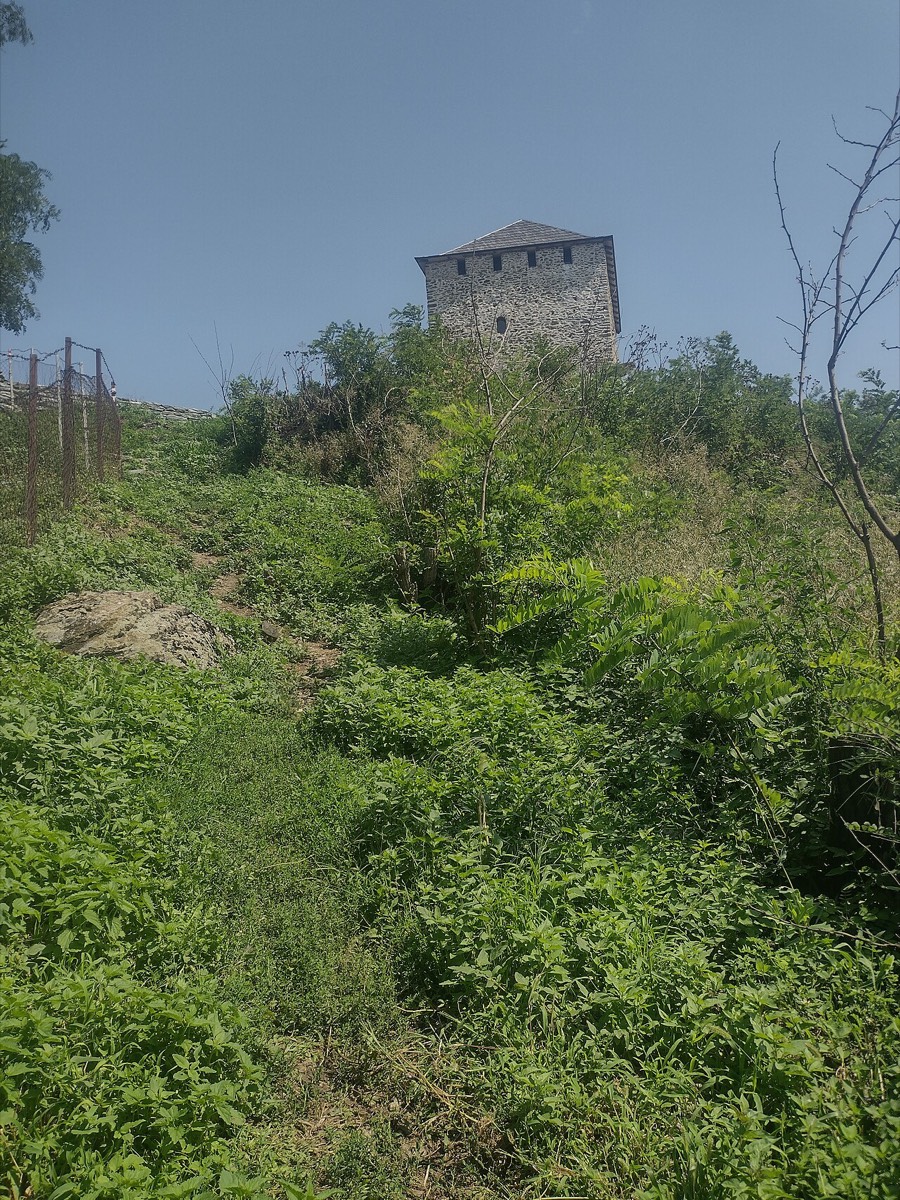
Vršac
Deliblato Sands
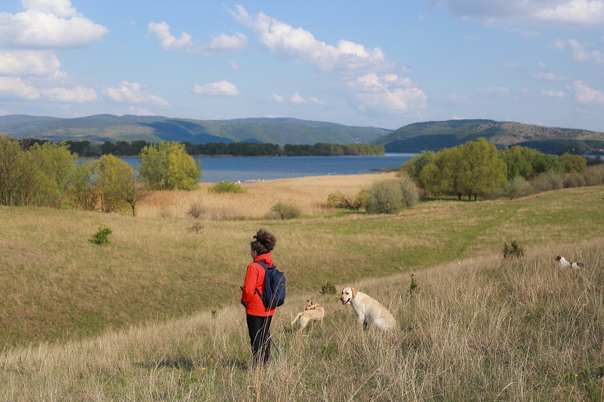
Sandy hills, steppe and forests; good for walks and wildlife.
Quick answer
Deliblato Sands covers about 300 km² in Banat, between the Danube and the Carpathian foothills. It is a rare landscape of sandy hills, steppe grassland and forest.
Quick facts
- Type
- Nature reserve
- Where
- Vršac
- Time needed
- Half a day
- Entry
- Free
- Last checked
- 1 Nov 2026
What to see
- Rolling sandy hills and steppe
- Forest walks and wildlife
- Big open skies
Map
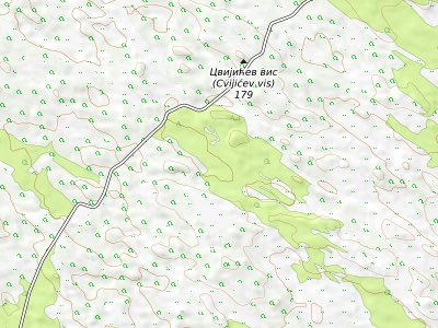
Map: © OpenStreetMap contributors, SRTM; style © OpenTopoMap (CC BY-SA). The zoomable map loads from OpenTopoMap, which receives your IP address.
Getting there
It is about an hour by car from Vršac or Belgrade. You need your own transport.
Good to know
Bring water, sun protection and an offline map. The tracks can be sandy and signposting is limited.
Stay nearby
Compare places to stay around Vršac.
See hotelsSources
- Wikipedia: Deliblatska Peščara (facts, CC BY-SA)
- Serbia SuperFan: Vršac guide
Checked online 1 Nov 2026. Prices, hours and access change; confirm before you travel.