
Stara planina
Babin Zub to Midžor, Stara Planina
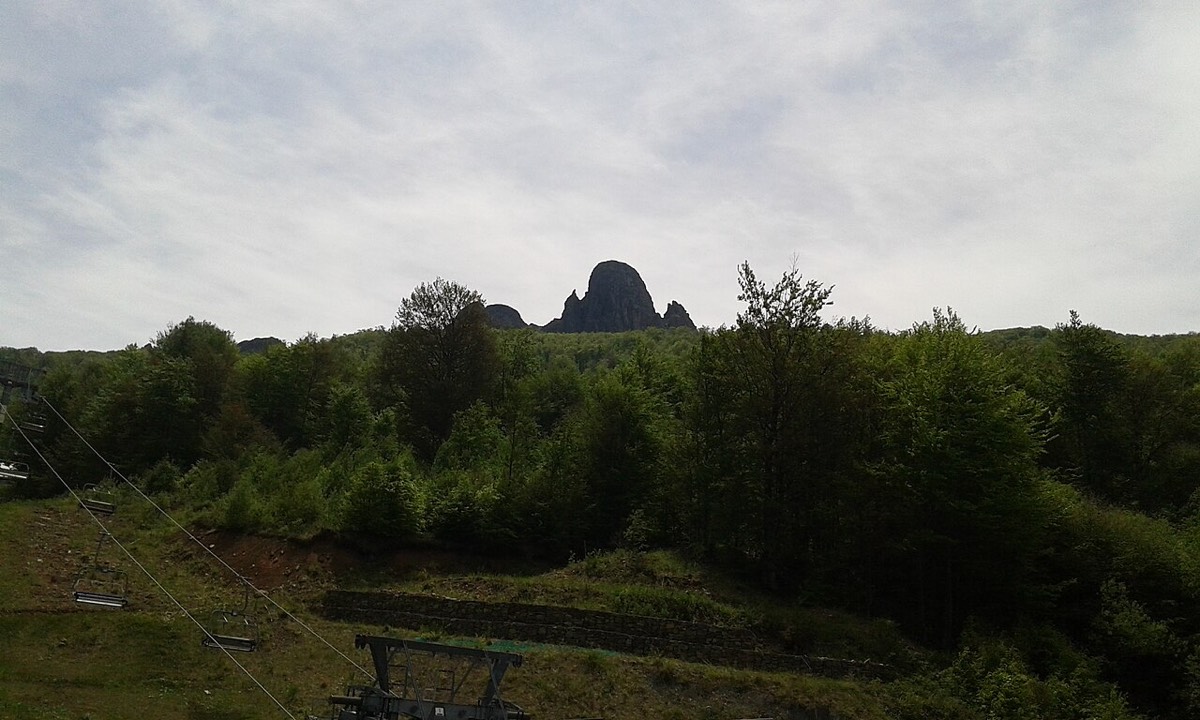
A high, open ridge walk to the 2,169 m top of Stara planina, on the Bulgarian border.
Quick answer
A 6.8 km climb from Babin Zub (about 1,550 m) to Midžor (2,169 m), the highest point of Stara planina. It is not technical, but the ridge has little shelter from the weather. Allow about two and a half hours up, and go only in settled conditions.
Route map
The map loads from OpenTopoMap, which receives your IP address. Nothing loads until you click.
Download GPXWorks with most hiking apps and GPS watches.
Elevation
Quick facts
- Type
- One way
- Start
- Babin Zub area (about 1,550 m)
- Highest point
- 2,169 m
- Grade from
- our estimate from distance and climb
- Water
- None confirmed on the ridge; carry at least 1.5 litres
- Waymarks
- Mapped as trail 2 in OpenStreetMap; not confirmed on the ground
- Best season
- June to September; expect snow outside this window
- Walked by our team
- Not yet. This guide uses published route data
- Data checked
- 1 Nov 2026, online
The route
- Start from the Babin Zub area, where some descriptions follow a ski trail up the ridge.
- The track gradually becomes a narrow path through the grass.
- Reach Midžor, right at the border with Bulgaria.
Getting to the start
Babin Zub is the mountain resort area of Stara planina, reached by road via Knjaževac. You need a car or a transfer, because public transport does not make a day hike practical. See also our Stara planina guide.
Before you go
- The border runs just above the summit. Carry your passport or ID and check the current rules, and do not wander across.
- Other descriptions give about 8 km each way, depending on where you start.
- Weather can change quickly on an open ridge, so bring a windproof layer and turn back if clouds close in.
Read our mountain safety basics too. For any emergency in Serbia, call 112.
Where to stay
Babin Zub puts you at the start of the trail.
See hotelsFrequently asked questions
How long is the round trip?
About 14 km by this track, or up to 16 km from some car parks. Allow five to six hours.
Do I need a guide?
Not in clear summer weather if you are used to mountains and have the GPX. In poor visibility or snow, go with a local guide.
Sources
- Explore Serbia: Ascent to Midžor
- Live the World: Midžor
- Route line: © OpenStreetMap contributors (ODbL)
- Elevation chart: NASA SRTM data, via OpenTopoData
Checked 1 Nov 2026. Trails, marks and access change, and you walk at your own risk. Confirm conditions locally before you set out.
More hikes in Serbia
All hikes → Demanding
 Easy
 Moderate

