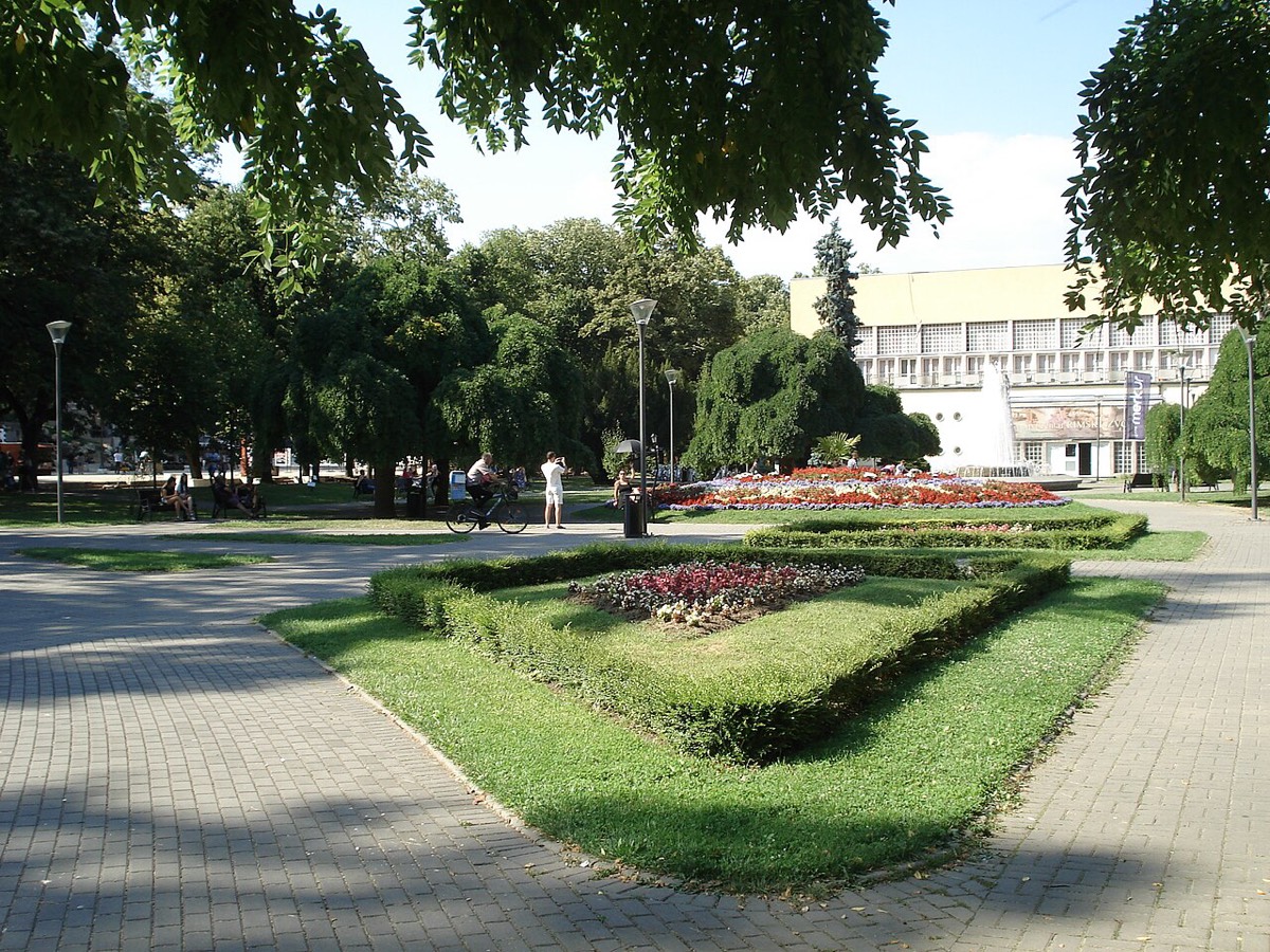
Vrnjačka Banja
Goč mountain
Forest walks in summer, skiing in winter.

Quick answer
Goč is a forested mountain about 15 km south of Vrnjačka Banja. It rises to 1,127 m at Krnja Jela and is popular for hiking, with a small ski area in winter.
Quick facts
- Type
- Mountain
- Where
- Vrnjačka Banja
- Time needed
- Half a day
- Entry
- Free
- Last checked
- 1 Nov 2026
What to see
- Forest walks and marked hiking routes
- A small ski slope in winter
- Cooler air on hot summer days
Map

Map: © OpenStreetMap contributors, SRTM; style © OpenTopoMap (CC BY-SA). The zoomable map loads from OpenTopoMap, which receives your IP address.
Getting there
It is about 15 km from Vrnjačka Banja, so a car or taxi is easiest.
Good to know
Check the slope is open before you go in winter. In summer, bring water for the forest trails.
Stay nearby
Compare places to stay around Vrnjačka Banja.
See hotelsSources
- Wikipedia: Goč (facts, CC BY-SA)
- Serbia SuperFan: Vrnjačka Banja guide
Checked online 1 Nov 2026. Prices, hours and access change; confirm before you travel.